Arab Satellite 813, Funded by the UAE Space Agency, Passes Its Post-Launch Review
The 14-nation Earth observation satellite, built under UAE University's space centre and launched last December, has finished in-orbit checks and calibration imaging.
By Nakoda News Desk
·2 min read
Prefer Nakoda News on Google

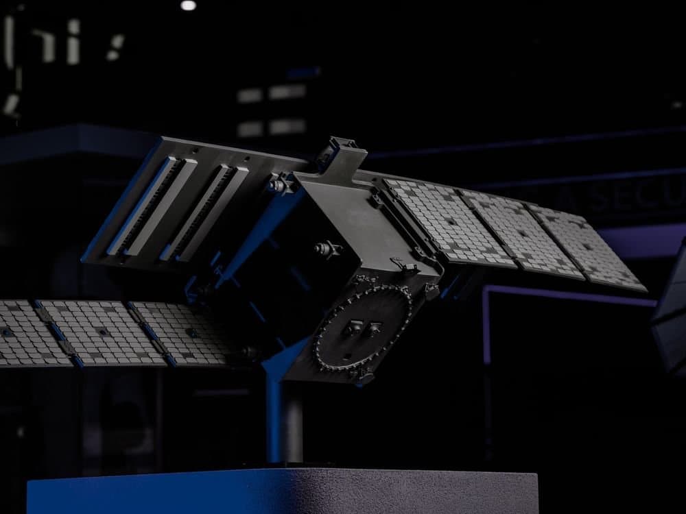
Arab Satellite 813, the first Earth observation satellite developed jointly by Arab states, has passed its post-launch assessment review, the UAE Space Agency said. The review completes the mission's technical commissioning and clears the way for its scientific work.
The UAE Space Agency funds the mission, which draws on expertise from the 14 countries of the Arab Space Cooperation Group. The National Space Science and Technology Center at UAE University led development of the satellite and will operate it from its base in Al Ain, according to the state news agency WAM.
The result matters for the UAE because it shows a national centre handling the full life of a satellite, from design and testing through launch to operations. That capability sits at the centre of the country's push to build sovereign space assets. It also gives the Arab Space Cooperation Group a working source of shared environmental and climate data.
Salem Butti Al Qubaisi, director general of the UAE Space Agency, said passing the review was an important step towards stronger Arab cooperation in space and towards turning shared capabilities into scientific and economic value. He said Earth observation is increasingly important for understanding environmental change, managing natural resources and responding to climate challenges.
The satellite was launched on December 10, 2025, after a test programme at the Al Ain centre. It then went through launch and early orbit operations and commissioning, which included technical checks of the spacecraft's health, systems and instruments in space, and test and calibration images that the agency said confirmed its imaging performance.
It carries three instruments. A hyperspectral imager collects data across 205 spectral bands for detailed analysis of the Earth's surface. A panchromatic camera provides the high visual resolution needed for detailed mapping and feature detection. An atmospheric polarimeter supports onboard correction of atmospheric effects in the data.
The mission is meant to support precision agriculture, water resource management, environmental and climate monitoring, marine and coastal studies, disaster risk management and geological mapping. Its data will be shared with member states of the Arab Space Cooperation Group for joint research. The agency has not yet said when routine data distribution to member countries will begin.
Sources
- وكالة أنباء الإمارات · "القمر الاصطناعي العربي 813" يجتاز بنجاح مراجعة تقييم ما بعد الإطلاق بتمويل من "الإمارات للفضاء"
Produced with AI assistance from the sources above. How we work
By
Nakoda News Desk
Nakoda News covers AI and business. Every story links the sources it draws on; how we work is set out in our editorial standards.
Related coverage
Research Meta Researchers Release e-means, a Faster Replacement for k-means Clustering in FAISS
1 day ago · 1 min read
- Research
UAE's First Radar Satellite Sirb-1 Clears Final Design Review, Targets 2028 Launch
1 day ago · 2 min read
- Research

Startup PSI Uses Anthropic Model to Prove a Long-Open Quantum Computing Conjecture
1 day ago · 2 min read
- Research

Nvidia Unveils GR00T 2, a Robot Model That Learns New Tasks From Human Video
1 day ago · 3 min read
- Research

Anthropic's Fable 5.2 Completes 41% of Real Freelance Jobs on Remote Labor Index
1 day ago · 2 min read